22 Roads That Look Normal Until the Weather Turns
Some roads across the United States feel completely ordinary when the skies are clear and traffic is light. But when weather shifts — whether from snow, fog, rain, wind, or heat — these same roads can transform into something intimidating, surreal, or downright dangerous. For U.S. road trip planners, understanding how weather reshapes familiar highways is essential for safe and memorable travel. We explore 22 Roads That Look Normal Until the Weather Turns
Going-to-the-Sun Road

On a sunny summer day, this mountain road feels like one of the most scenic drives in U.S. travel. When weather changes, however, snowstorms and dense fog can appear quickly, even in warmer months. Steep drop-offs and narrow lanes become far more intimidating under icy conditions. Travelers visiting Glacier National Park often underestimate how rapidly visibility can vanish, making this road a striking example of how weather transforms a peaceful sightseeing drive into a white-knuckle experience.
Blue Ridge Parkway
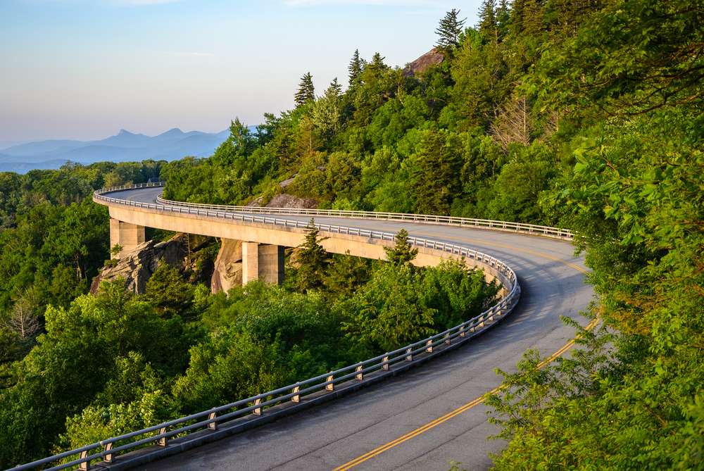
The Blue Ridge Parkway is famous for gentle curves and panoramic views, but fog changes everything. Low clouds can roll in without warning, reducing visibility to just a few feet. Wet leaves in fall and icy patches in winter add another layer of risk. For travelers exploring Appalachian road trips, this parkway proves that even well-maintained scenic routes demand respect when weather conditions shift suddenly.
Interstate 80

I-80 across Wyoming looks flat and manageable under blue skies. During winter storms, though, high winds combine with blowing snow to create near-zero visibility. Black ice forms quickly, and massive pileups have occurred here in extreme weather. For cross-country travelers, this stretch of highway highlights how open landscapes offer little protection when weather turns severe.
Pacific Coast Highway

Under clear conditions, the Pacific Coast Highway feels like the ultimate U.S. road trip dream. Storms change that mood instantly. Heavy rain, coastal fog, and landslides can shut down sections with little notice. Waves crash close to the roadway, and slick pavement challenges even experienced drivers. This iconic drive proves that beauty and danger often coexist when coastal weather becomes unpredictable.
Interstate 70

I-70 through the Colorado Rockies serves millions of travelers heading to ski resorts and mountain towns. When snowstorms hit, traffic slows to a crawl and chain laws take effect. Whiteout conditions and steep grades make this highway far more demanding than it appears on a map. For winter U.S. travel, this road exemplifies how elevation magnifies weather challenges.
Route 550 (Million Dollar Highway)

This road feels manageable in summer despite its lack of guardrails. When rain, snow, or fog arrive, its narrow lanes and sheer cliffs become intimidating. Visibility drops fast, and icy patches linger in shaded areas. Travelers driving through southwestern Colorado quickly realize that good weather disguises how exposed and unforgiving this route can become.
Dalton Highway
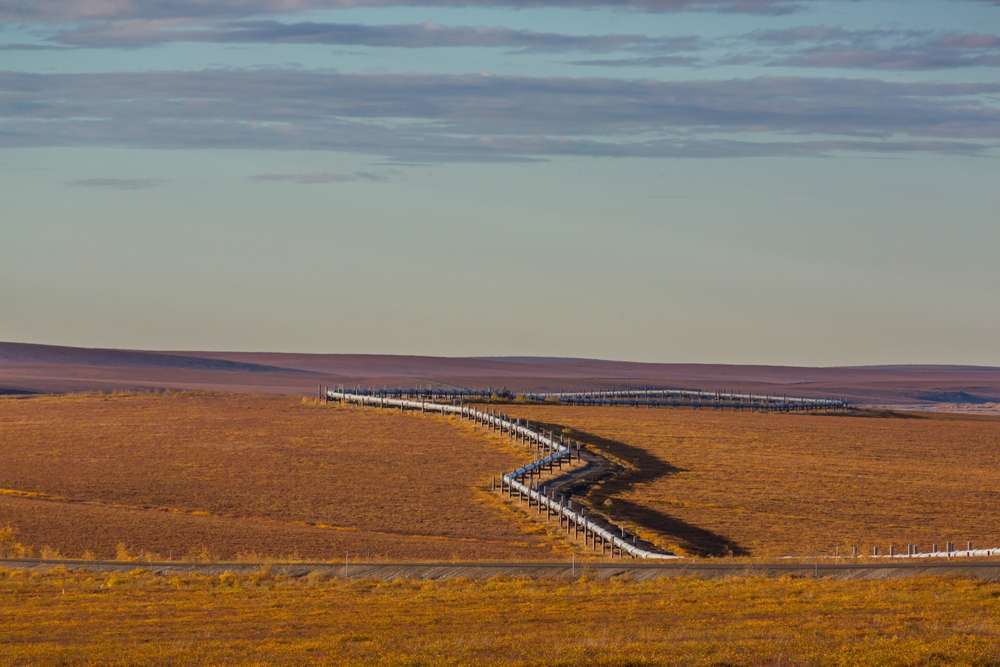
The Dalton Highway looks like a simple gravel road stretching across Alaska’s wilderness. Weather transforms it into a survival challenge. Rain turns dirt into mud, while snow and ice linger for much of the year. Winds can be relentless, and help is far away. For adventurous U.S. travelers, this road proves that isolation magnifies every weather shift.
Interstate 15

Through southern Utah, I-15 appears straightforward and smooth. Flash floods during monsoon season change everything. Sudden rainstorms can overwhelm drainage systems, creating standing water and debris on the roadway. Dust storms triggered by wind also reduce visibility. Travelers driving between major Western destinations often underestimate how desert weather can disrupt otherwise routine interstate travel.
Route 66

Much of Route 66 looks calm under clear skies. When storms roll across desert sections, conditions shift fast. Heavy rain causes flooding in low areas, while high winds kick up sand and dust. Heat waves can strain vehicles as well. For road trippers chasing classic Americana, this historic route shows how weather adds unpredictability to nostalgic travel.
Interstate 90

I-90 cuts through wide-open prairie that feels easy to navigate. Snowstorms change that perception quickly. Strong crosswinds and drifting snow reduce traction and visibility. Long distances between services amplify risk during winter conditions. Travelers crossing the Northern Plains learn that flat terrain offers no shelter once severe weather sets in.
Route 1

This tropical highway seems calm under sunshine. During storms or hurricanes, it becomes extremely vulnerable. Heavy rain, flooding, and strong winds expose the road’s lack of elevation. Bridges feel especially unstable in bad weather. For Florida road trips, this route reminds travelers that coastal weather can escalate rapidly and dramatically.
Interstate 40

I-40 looks predictable across the Southwest. Winter storms surprise many drivers, bringing snow and ice to elevations people associate with desert heat. Sudden temperature drops cause slick pavement. Dust storms also appear during dry periods. This highway demonstrates how assumptions about regional climate can mislead even experienced U.S. travelers.
Beartooth Highway
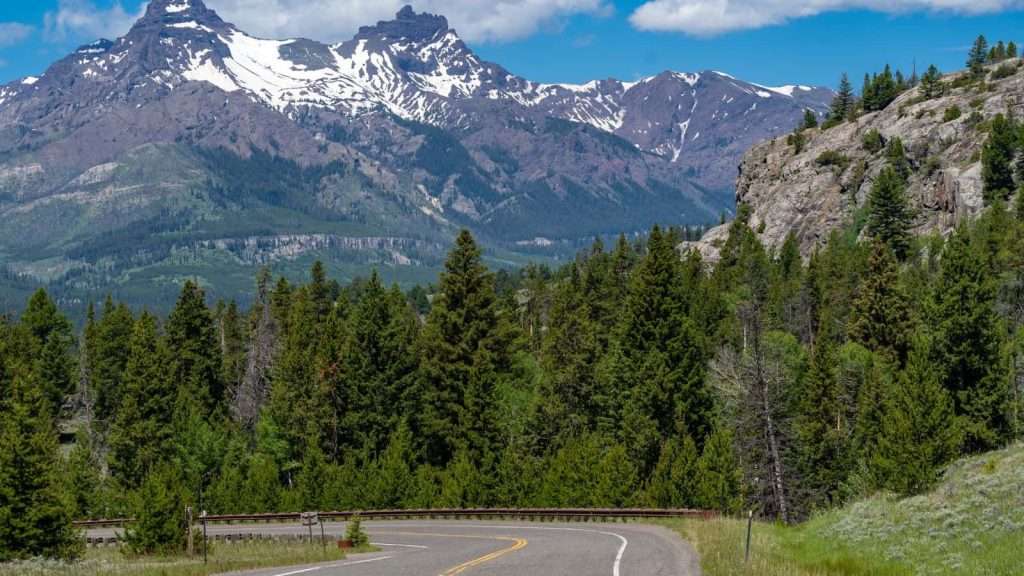
This high-elevation road feels peaceful on clear days. Storms bring snow, hail, and near-freezing temperatures even in summer. Sharp turns and steep drop-offs become far more threatening. Travelers planning mountain drives quickly learn that altitude amplifies weather risks, making this road a dramatic example of conditions changing without warning.
Interstate 5

I-5 through the Central Valley appears flat and simple. Tule fog in winter transforms it into one of the most dangerous highways in California. Visibility can drop to near zero, causing sudden traffic stops and accidents. For U.S. travel focused on efficiency, this stretch highlights how invisible weather threats can be the most dangerous.
Route 12

This scenic road winds through Utah’s red rock landscapes. Rain turns slickrock surfaces hazardous, while snow surprises drivers at higher elevations. Flash floods affect canyon sections. The road’s beauty masks how quickly conditions can worsen. Travelers exploring national parks learn that scenic byways demand as much caution as admiration.
Interstate 94
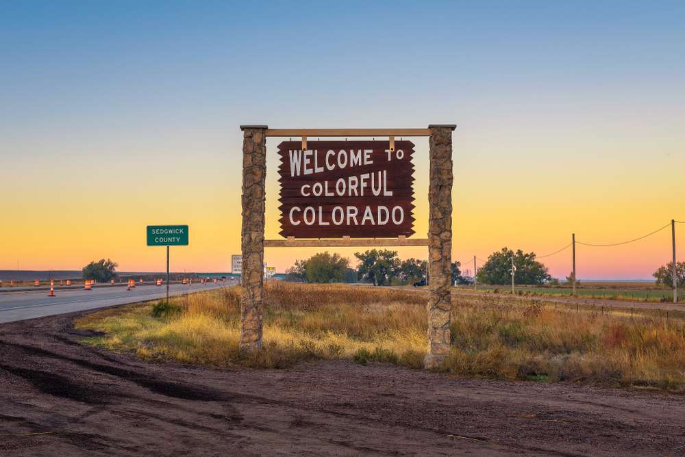
I-94 looks uneventful across North Dakota. Blizzards bring whiteouts, drifting snow, and extreme cold. Winds reduce control on open stretches, and closures are common in winter. Long distances between towns increase risk. This highway reinforces how weather can dominate travel planning in northern U.S. regions.
Route 2

This mountain pass feels manageable in mild weather. Snowstorms and freezing rain change driving conditions instantly. Steep grades and sharp curves amplify danger. Travelers heading east from Seattle often underestimate how quickly alpine weather takes over. It’s a prime example of why mountain road forecasts matter for Pacific Northwest travel.
Interstate 25

I-25 serves as a major north-south route and looks straightforward. Snow squalls and sudden wind gusts make it unpredictable. Rapid elevation changes affect weather patterns along the route. For travelers visiting Colorado cities, this highway shows how urban corridors are not immune to weather-driven challenges.
Route 20

This remote highway appears calm and empty. Winter storms bring ice and snow, while summer heat strains vehicles. Limited services make breakdowns riskier during bad weather. Travelers exploring Oregon beyond the coast learn quickly that isolation magnifies the impact of changing conditions on long rural roads.
Interstate 10

I-10 feels endless and easy in clear weather. Dust storms, extreme heat, and sudden thunderstorms create hazards. Flash flooding can occur despite dry surroundings. For cross-country travelers, this route demonstrates how desert highways demand preparation even when they appear uncomplicated.
Route 89A
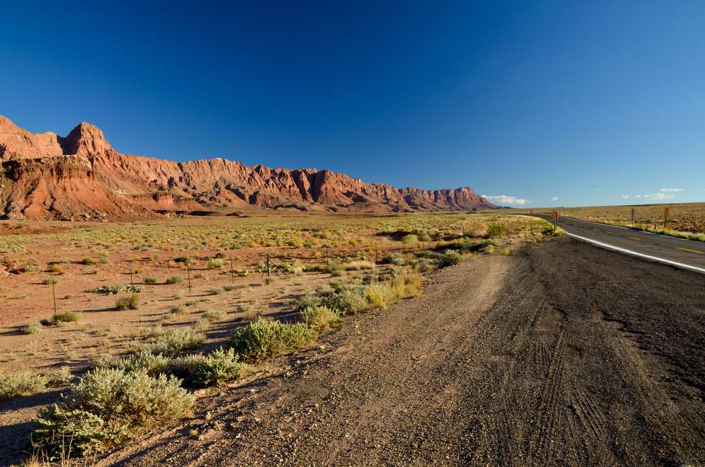
This winding canyon road feels scenic and approachable. Rain and snow make curves slick and visibility poor. Rockfalls occur after storms. Travelers heading between desert and mountain environments discover how elevation shifts create weather surprises that transform familiar pavement into a technical drive.
Interstate 95

I-95 looks like a standard urban highway. Winter storms bring ice, freezing rain, and gridlock that can strand drivers for hours. Heavy rain overwhelms drainage systems. For East Coast U.S. travel, this highway proves that population density does not protect against weather-driven chaos.

Deborah Montiero is a seasoned travel writer and contributor to Probe the Globe. With a passion for uncovering hidden gems and sharing immersive travel experiences, Deborah’s work highlights must-visit destinations, insider tips, and practical advice for travelers of all types. Whether exploring bustling cities or remote escapes, her articles are crafted to inspire and inform, making her a trusted voice in the travel community.
Her storytelling weaves together cultural insights, logistical tips, and authentic experiences, making her a valuable resource for readers seeking unforgettable journeys.
When not writing, Deborah is likely researching the latest travel trends or planning her next adventure. Follow her work on Probe the Globe for fresh perspectives and up-to-date travel inspiration.