20 Underwater American Towns Drowned by Progress—and Still Visible
Across the United States, large infrastructure projects have reshaped landscapes and displaced entire communities. Dams, reservoirs, and flood control efforts brought electricity, water, and economic growth, but they also erased towns that once thrived along rivers and valleys. In some places, remnants of these communities still sit beneath the surface, visible during droughts or through clear water. These 20 submerged locations have become unusual points of interest for U.S. travel, blending history, loss, and engineering in unexpected ways.
St. Thomas, Nevada

St. Thomas was once a small agricultural town along the Colorado River before the construction of Hoover Dam led to the creation of Lake Mead. By the late 1930s, residents were forced to relocate as water levels rose. Today, during periods of drought, foundations, roads, and artifacts reappear. Visitors exploring Nevada travel destinations can walk through visible remains, offering a stark reminder of how major infrastructure projects permanently reshaped rural communities.
Detroit, Oregon
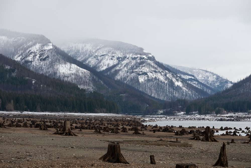
The town of Detroit was relocated when Detroit Lake was formed by the Detroit Dam in the 1950s. While a new town exists nearby, the original settlement lies underwater. When water levels drop, remnants of streets and structures become visible. The submerged town has become a point of curiosity for Oregon travel enthusiasts interested in how hydroelectric development altered entire regions.
Vanport, Oregon
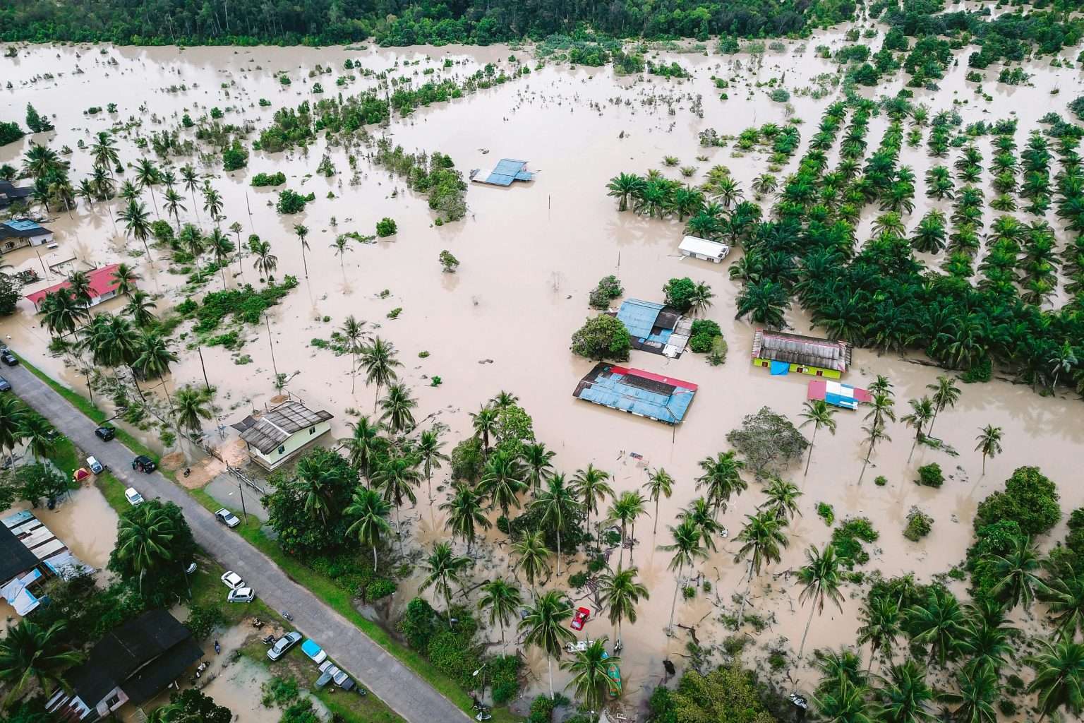
Vanport was once Oregon’s second-largest city, built quickly during World War II to house shipyard workers. In 1948, a catastrophic flood destroyed the city in a single day. Portions of the area now sit beneath water and wetlands. Though largely erased, traces of infrastructure can still be identified, making it a sobering stop for those exploring Pacific Northwest travel history.
Monongahela, Pennsylvania
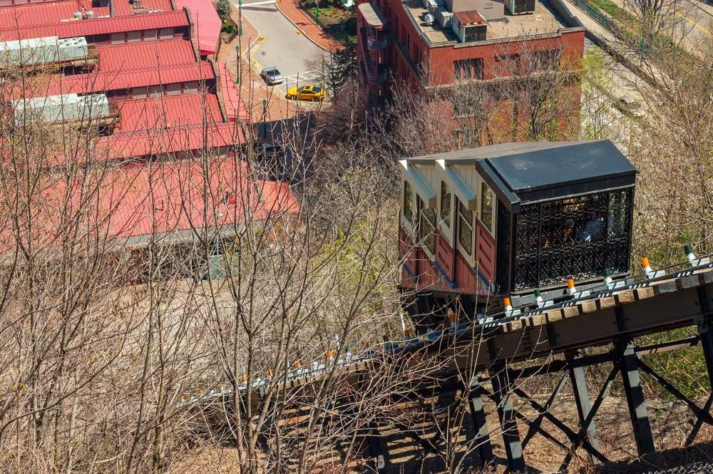
Several small river communities along the Monongahela River were flooded due to dam projects aimed at improving navigation and flood control. Old roads and building foundations occasionally appear when water levels recede. These submerged sites illustrate how industrial progress in Pennsylvania travel corridors often came at the cost of established neighborhoods.
Butler, Tennessee
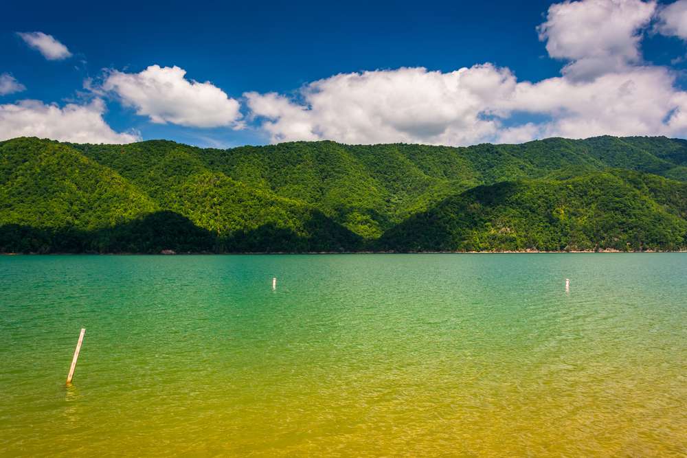
Butler was submerged in the 1940s when the Watauga Lake reservoir was created. Residents relocated, but the original town still rests underwater. During dry seasons, visitors can see remnants of bridges and structures. The site is now a quiet attraction for Tennessee travel, especially among those interested in Appalachian history.
Loyston, Tennessee
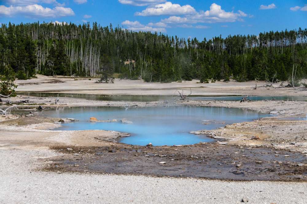
Loyston disappeared beneath Norris Lake following the completion of Norris Dam. The town had been home to families for generations before federal projects forced relocation. Visible remains occasionally emerge, reminding visitors how New Deal-era infrastructure reshaped rural America. It remains a lesser-known stop for those exploring historic Tennessee travel routes.
Elbowoods, North Dakota
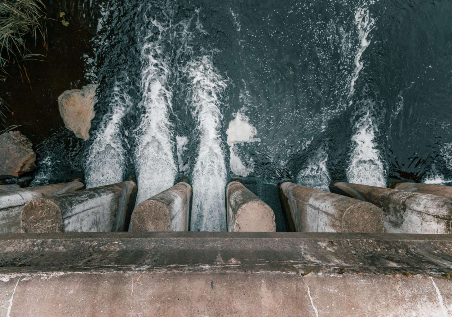
Elbowoods was submerged when Lake Sakakawea formed behind the Garrison Dam. The flooding displaced Native American communities and small towns alike. Parts of the former settlement can sometimes be seen beneath clear water. The site stands as a powerful example of how large-scale projects affected Indigenous and rural populations in North Dakota travel history.
Powell, Arizona

Several early settlements were flooded during the creation of Lake Powell. While never large towns, these communities supported miners and river workers. Today, submerged stone walls and foundations are visible beneath the lake’s clear water. For Arizona travel, Lake Powell offers not just scenery but insight into forgotten frontier settlements.
Glen Canyon, Utah
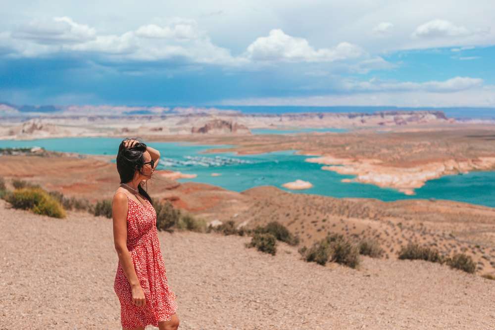
Before Glen Canyon Dam, small communities and homesteads existed along the Colorado River. Lake Powell submerged these areas, preserving structures underwater. Divers and boaters sometimes glimpse remains. The site has become an important case study in Utah travel discussions about conservation versus development.
Cascade, Idaho
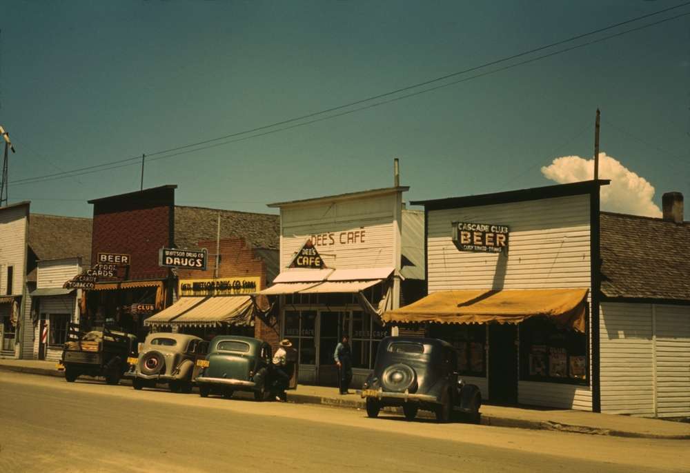
The original town of Cascade was flooded to create Cascade Reservoir. Residents moved uphill, leaving the former town submerged. When water levels fall, streets and foundations reappear. The visible remains attract visitors interested in Idaho travel and the impact of water management projects.
Altoona, Pennsylvania
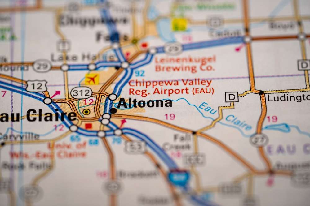
Parts of smaller river-adjacent communities near Altoona were submerged due to flood control efforts. While not entirely underwater, sections of former neighborhoods lie beneath reservoirs. Visible remnants highlight how industrial-era infrastructure reshaped Pennsylvania travel landscapes.
Kenwood, California
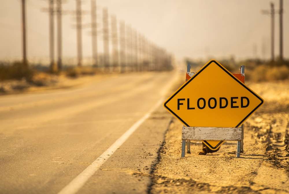
Several early California settlements were flooded due to reservoir construction. In Kenwood’s case, agricultural land and small structures remain underwater. During droughts, foundations and walls emerge. These sites add an unexpected historical layer to California travel beyond coastal and urban attractions.
Hite, Utah
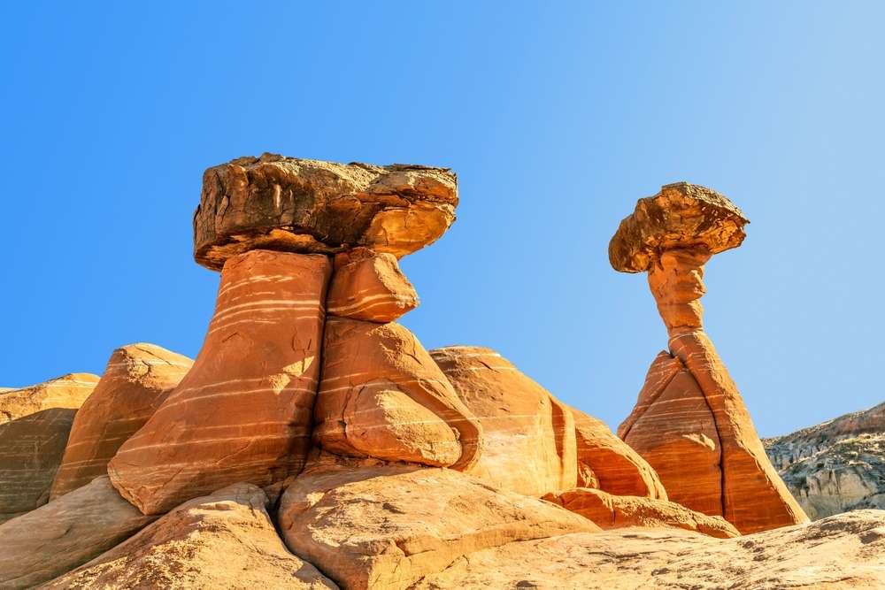
Hite was a small settlement and ferry crossing submerged by Lake Powell. When water levels drop dramatically, the town site becomes accessible again. Remains include roads and building foundations. The town’s periodic reappearance has made it a unique destination within Utah travel circles.
Okaton, South Dakota
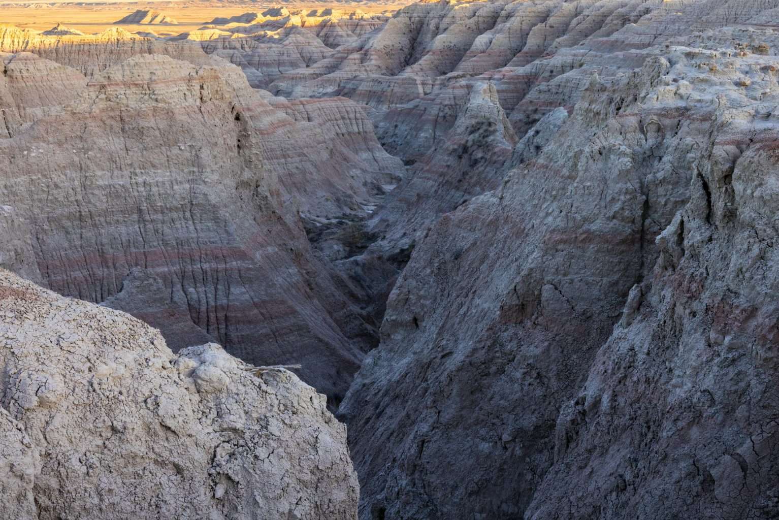
Small river towns like Okaton were affected by dam and reservoir projects. While much of the area was relocated, submerged structures remain. These remnants provide insight into how water management projects reshaped Great Plains travel regions.
Milltown, Montana
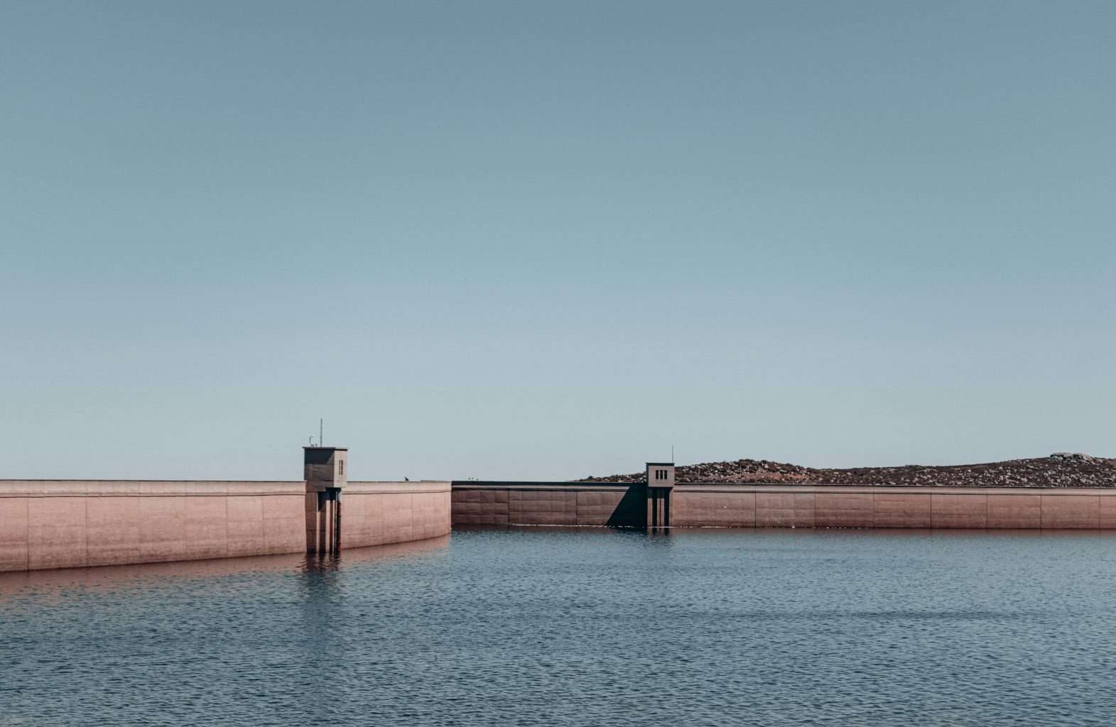
Milltown was partially submerged due to dam construction. The flooding altered the town’s layout and economy. Visible remnants remain beneath nearby waters. The site reflects how Montana travel history includes communities reshaped rather than fully erased.
Gilman, Colorado
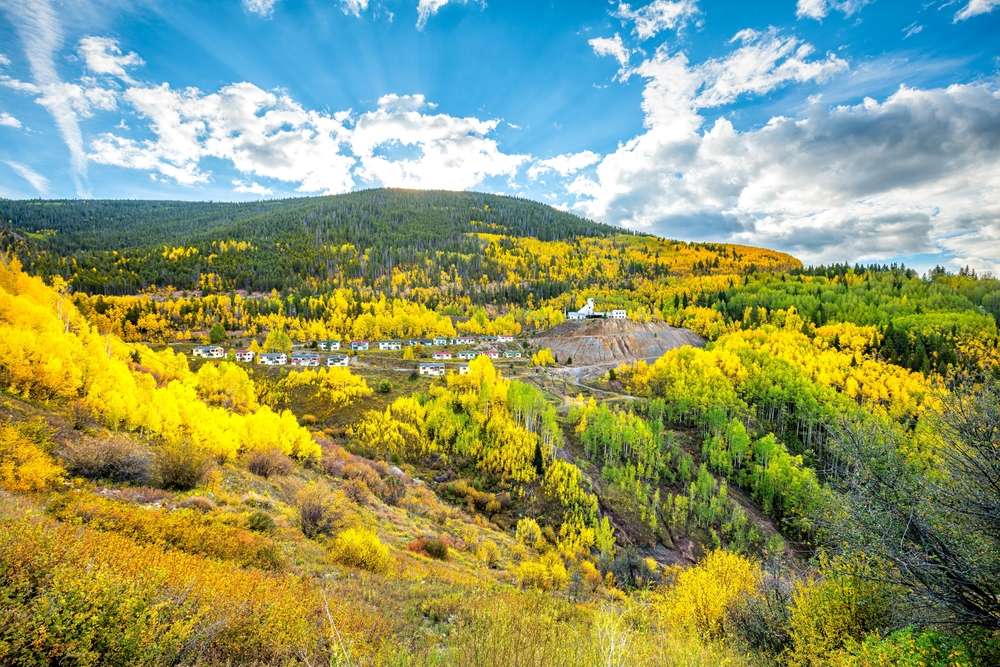
While not entirely underwater, parts of Gilman’s infrastructure were submerged due to environmental remediation efforts. Water-filled structures remain visible. The town’s altered state reflects how environmental cleanup can permanently change communities within Colorado travel narratives.
St. Mary, Montana
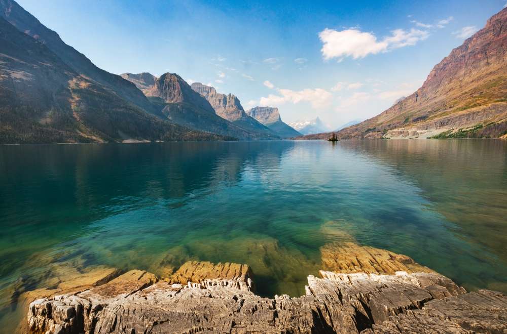
Small settlements near St. Mary Lake were flooded to manage water flow and irrigation. Underwater remains are sometimes visible in clear conditions. These submerged sites add historical depth to Montana travel experiences in Glacier National Park regions.
Rockport, California

Early coastal communities like Rockport were partially submerged due to changes in water management and erosion. Submerged structures remain visible offshore. These remnants are lesser-known stops for California travel focused on history rather than beaches.
Minersville, Utah
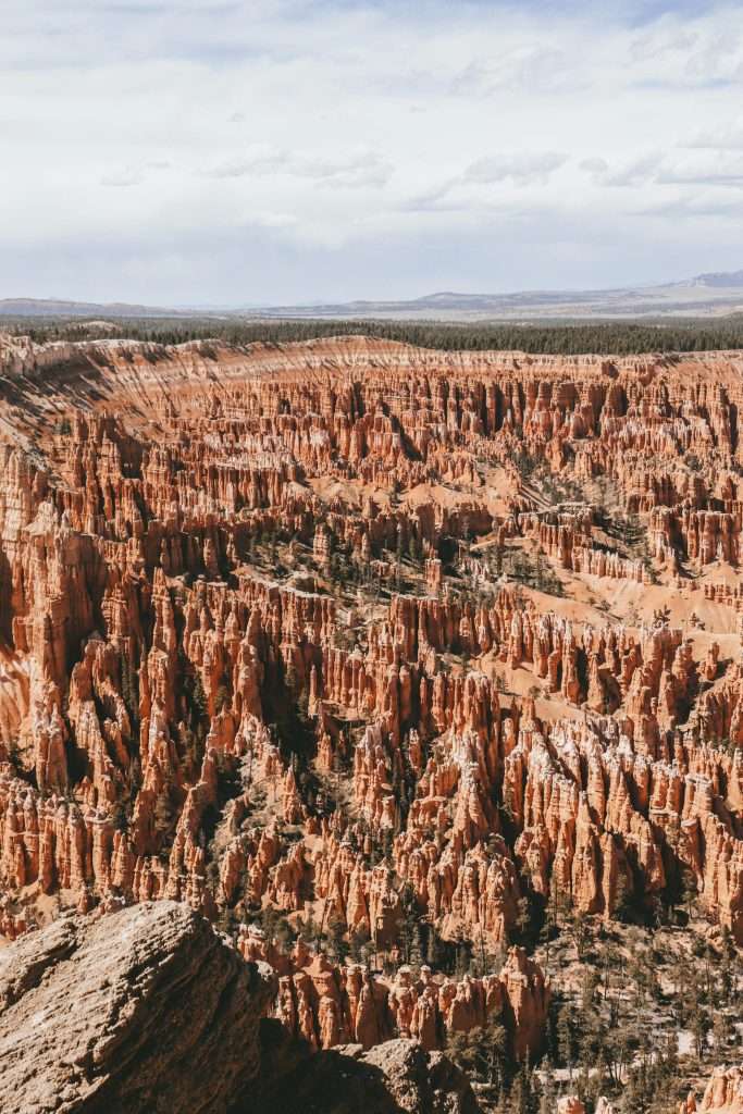
Minersville was partially submerged when Minersville Reservoir was created. The original town site still exists underwater. Visible remains during low water periods offer a glimpse into early mining communities, enriching Utah travel beyond national parks.
Old Butler, Kentucky
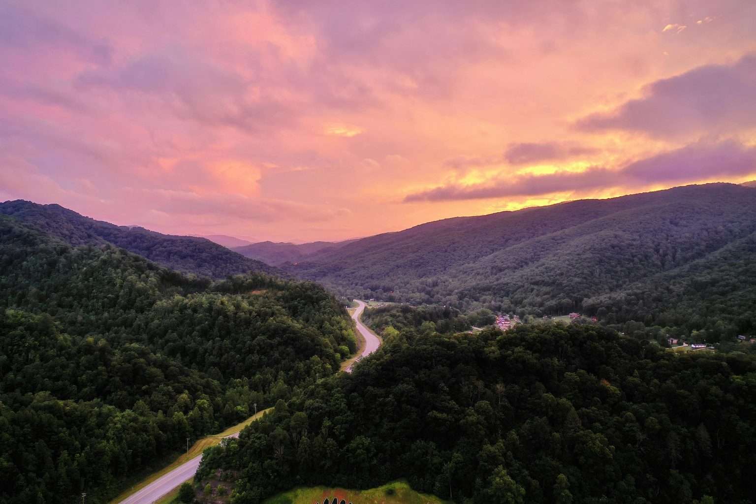
Old Butler was submerged due to flood control projects. The town was relocated, leaving infrastructure underwater. During droughts, remains become visible. The site illustrates how Kentucky travel history includes communities lost to modernization.

Deborah Montiero is a seasoned travel writer and contributor to Probe the Globe. With a passion for uncovering hidden gems and sharing immersive travel experiences, Deborah’s work highlights must-visit destinations, insider tips, and practical advice for travelers of all types. Whether exploring bustling cities or remote escapes, her articles are crafted to inspire and inform, making her a trusted voice in the travel community.
Her storytelling weaves together cultural insights, logistical tips, and authentic experiences, making her a valuable resource for readers seeking unforgettable journeys.
When not writing, Deborah is likely researching the latest travel trends or planning her next adventure. Follow her work on Probe the Globe for fresh perspectives and up-to-date travel inspiration.